GeoServer 3 Crowdfunding – Last Call!
https://geoserver.org/behind%20the%20scenes/2025/04/08/gs3-last-call.html

GeoServer 3 Crowdfunding – Last Call!
https://geoserver.org/behind%20the%20scenes/2025/04/08/gs3-last-call.html
 Only 100 Days Left!
Time is flying, and FOSS4G Europe 2025 is getting closer!
Join us in Mostar for an unforgettable open-source geospatial conference.
We’re excited to announce that registration will be opening soon, so stay tuned for updates! We look forward to seeing you here! 
 https://2025.europe.foss4g.org
#FOSS4GE #FOSS4G #mostar #osgeo

hey there's #FOSS4G2025 news!
Call for papers is open: https://2025.foss4g.org/attend/call-for-papers
Travel grant program is open:
https://2025.foss4g.org/attend/travel-grant-program
You can register to attend:
https://2025.foss4g.org/attend/register
Voting on a logo is open! Proposals and voting link here: https://wiki.osgeo.org/wiki/FOSS4G_2025/Logo_Entries)
Go propose talks/register/apply for travel grants/vote for a logo!
Swing by Australia on the way and come climbing ;)
(ping @osgeo and followers)

 FOSS4GE 2025 Travel Grants – applications open!
We’re excited to announce that the Travel Grant Programme (TGP) for FOSS4G Europe 2025 is now accepting applications! 
Are you passionate about open-source geospatial technologies? Do you want to join the FOSS4G community in Mostar this July? The TGP is here to help!
 Submit your application by April 30 at https://2025.europe.foss4g.org/registration/travel-grant/
#FOSS4GE #FOSS4G #mostar #osgeo

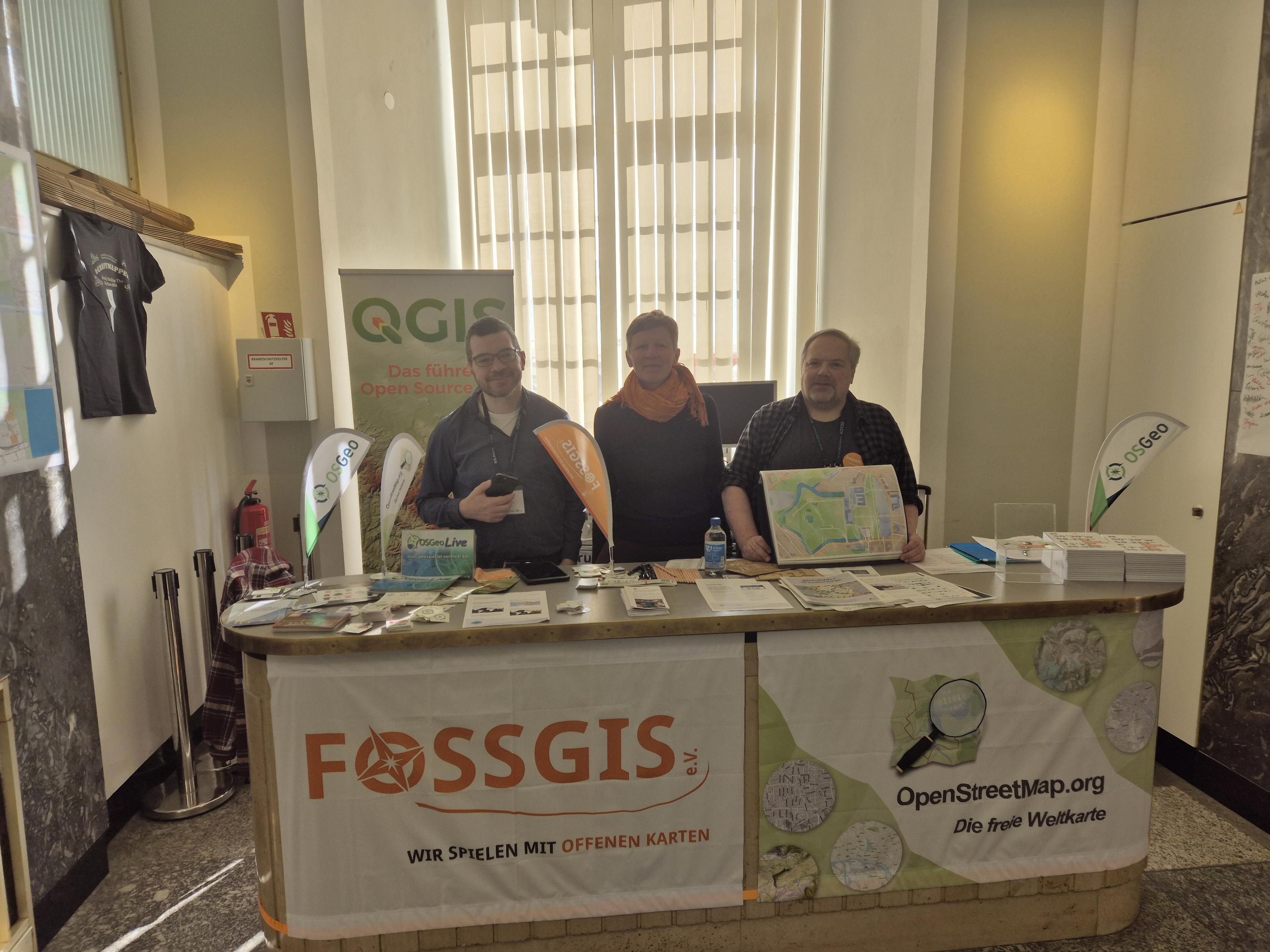
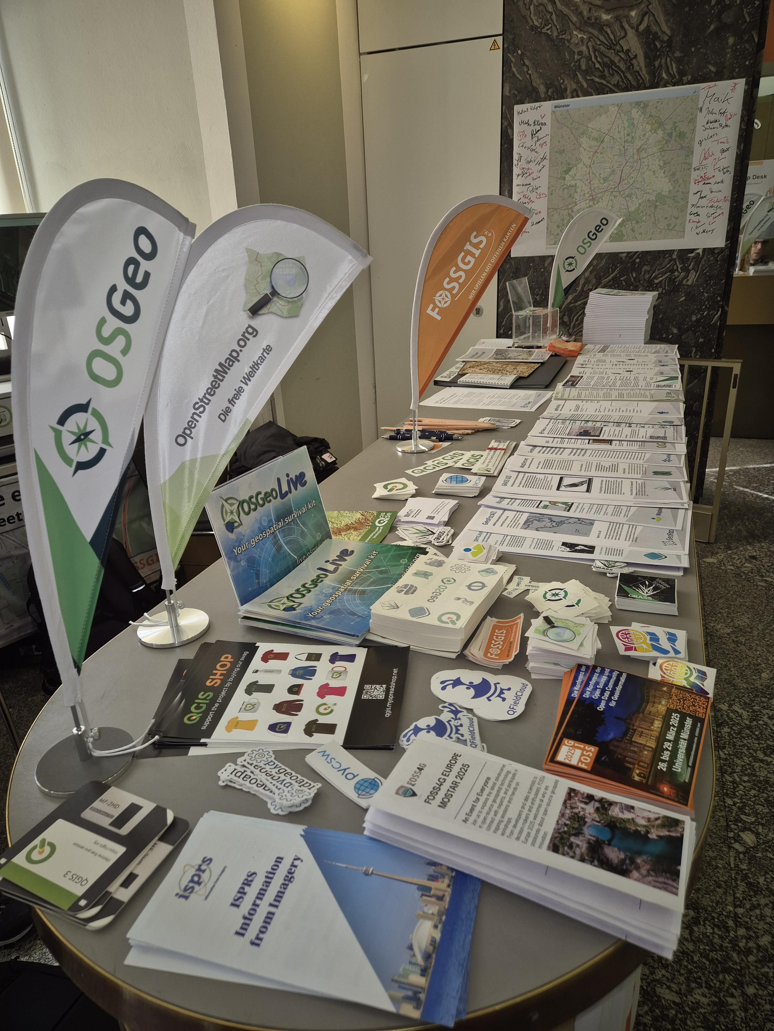
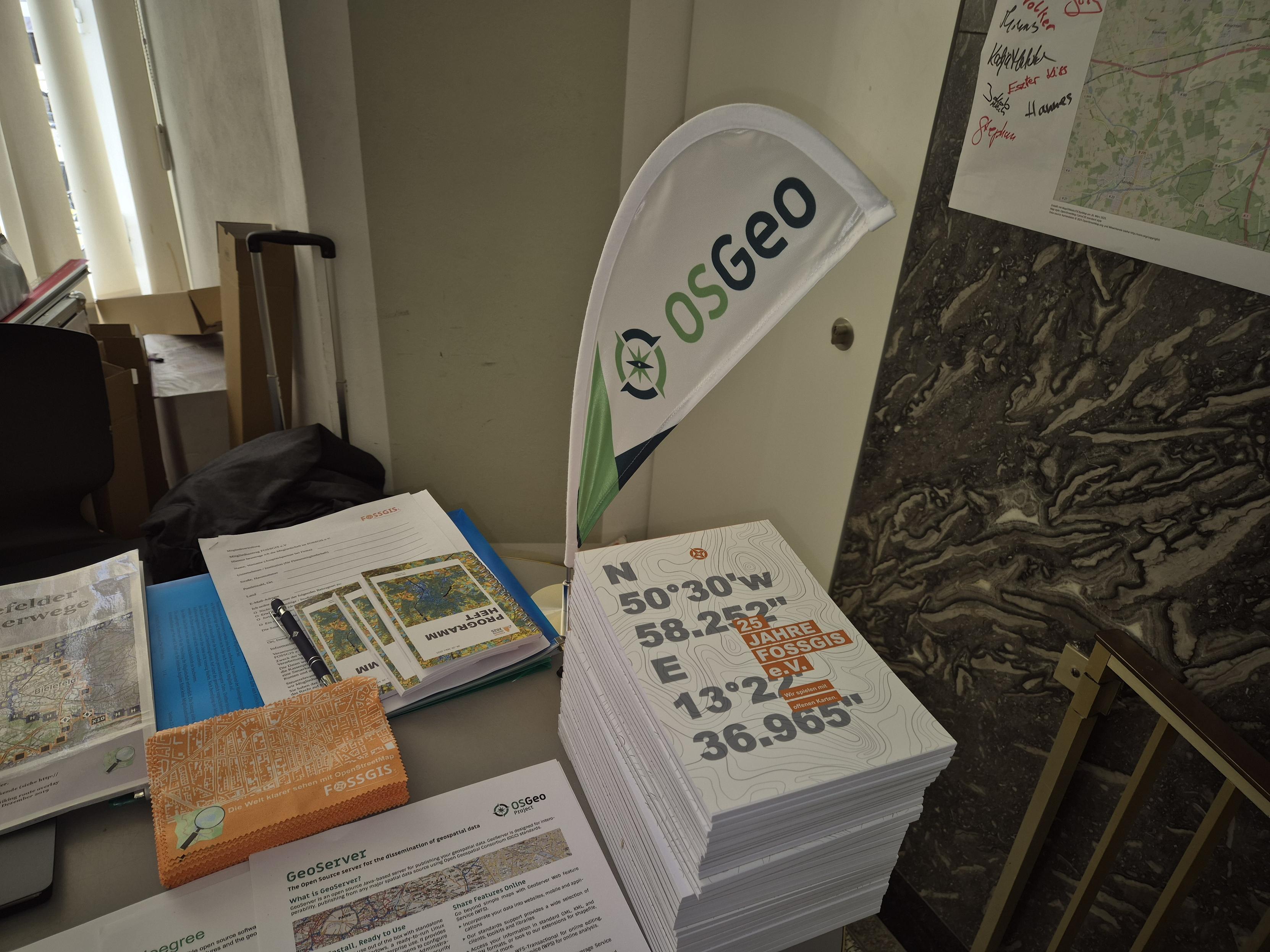
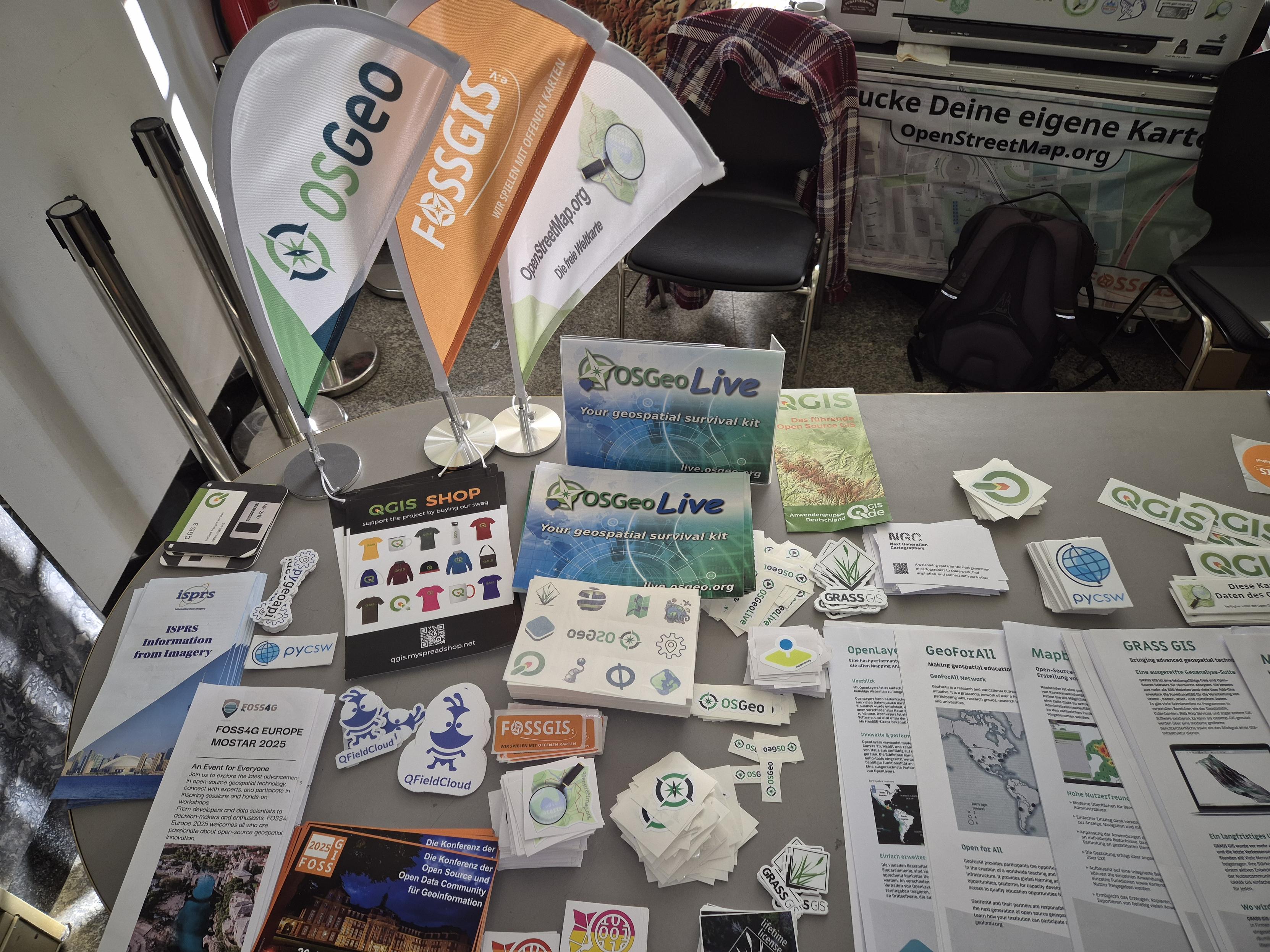
Kennen Sie schon den @FOSSGISeV?
Wir fördern freie Software aus dem GIS-Bereich & Freie Geodaten, sind das Local Chapter der OSGeo & der OSMF & organisieren die FOSSGIS-Konferenz.
Wir freuen uns über neue Mitglieder & auf einen Besuch am Stand des FOSSGIS e.V. im Foyer auf der #FOSSGIS2025
Informationen zum Verein https://www.fossgis.de/verein/
#FOSSGIS #OSGeo #FOSS4G #OSM #Geospatial #GIS
As the FOSSGIS 2025 conference unfolds, we at FOSS4GE send our warmest greetings to all attendees! 
May this event be a source of new insights, innovative ideas, and valuable partnerships. Wishing you an inspiring and productive conference filled with exploration and collaboration! 
Viel Spaß auf der #FOSSGIS2025! Wir sehen uns in Mostar zur #FOSS4GE2025 im Juli!

#FOSSGIS2025 - wir treffen uns vor Ort oder Online!
Livestream via https://streaming.media.ccc.de/fossgis2025
#FOSSGIS2025 #FOSSGIS #OSGeo #FOSS4G #OSM #OpenStreetMap

Seriously - free #strategic advice for every government: Do not build infrastructure on systems over which you have no control.
"but we have a contract"
Cool cool are you able to change business decisions within the contracted party? Probably no. You have a risk you simply cannot control or mitigate.
This is why #FOSS should be at the heart of all national digital infrastructures.
TIL...  . nationalmap.gov.au is/was an open source TerriaJS instance delivering all kinds of data via open standards in a single space.
The digital atlas of Australia is based on proprietary ESRI services. Colour me disappointed, not surprised
The strategic question being: why develop a new digital atlas if the old one was not used? 
Personally I would have chosen to keep developing an open platform, especially in current geopolitical light.


If I wanted to persuade someone who only knows ArcGIS/ESRI products that they should look at QGIS/open-source tools, what particular features should I point to? Aside from being free and open-source - what wow features do they have? What can you do easily that you can't in Arc?
(I don't really know what Arc/ESRI is like these days as I haven't used it for over a decade)
There's a lot of mappy things happening this November. So it's a good time to share this evergreen reflection on what is a map anyway:


 Check your inbox to see if your submission was accepted and confirm your participation by March 30.
  If you have any issues, feel free to reach out at info-europe@foss4g.org